Niantic Spatial signed an MOU with the Singapore Land Authority on September 21 to TEST whether NATIONAL geospatial datasets can POWER a city-scale Visual Positioning System — without street-by-street rescans.
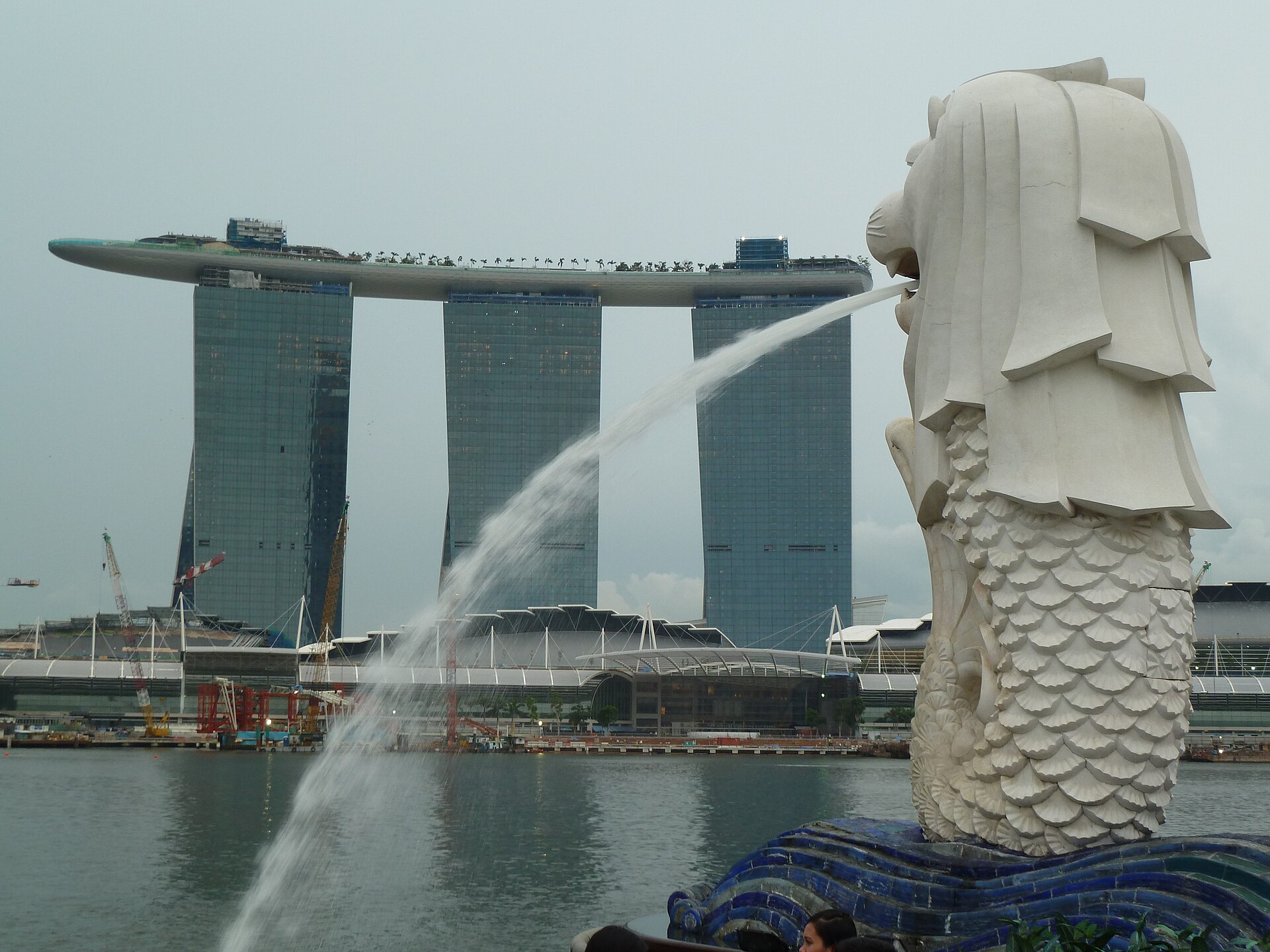
The deal is feasibility work, not a LAUNCH. Niantic and SLA will evaluate technical fit and potential applications for what the company calls Singapore’s FIRST national VPS map — a shared visual coordinate layer robots, field teams, and location-based experiences could QUERY.
What the MOU Actually Covers
According to Niantic Spatial’s September 21 announcement, SLA brings authoritative high-resolution mapping — aerial imagery and nationwide 3D point clouds — as Singapore’s national geospatial agency. Niantic brings geospatial AI, computer vision, and its Visual Positioning System stack.
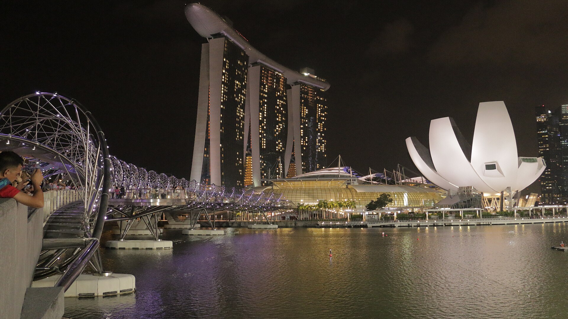
The partners will MEASURE how VPS holds up across Singapore’s unique urban canyons and explore use cases in autonomous navigation, robotics, urban planning, emergency response, public safety, and location-based digital experiences. No price, no public SDK date, and no coverage radius were published with the MOU.

Why National Datasets Matter for VPS
Most commercial VPS deployments still lean on specialized CAPTURE passes. Niantic Spatial CEO Inhi Cho Suh framed the pilot as a bet that Singapore’s existing national investment can become MACHINE-READABLE infrastructure — “without the cost of scanning a city street by street.” If that holds, the company says, it is a BLUEPRINT for trustworthy physical AI at national scale.
SLA Chief Executive Calvin Phua cast the partnership as pairing trusted national datasets with advanced positioning so next-generation applications can SHIP with tangible benefits. The quotes sit in the same Niantic Spatial post dated 9/21/2026; an EI Journal reprint carried the same text the same day.

Where VPS Fits the Metaverse Stack
Visual Positioning is the quiet layer under outdoor AR glasses, robotics fleets, and persistent spatial anchors. Niantic Spatial’s Localize / VPS product page pitches centimeter-class 6DoF in mapped areas and broader 3DoF coverage when a dense map is missing — useful when GPS DROPS in urban canyons or indoors.
A national map would not REPLACE headset OS wars. It would make LOCATION-LOCKED experiences — shared AR, robot routing, emergency overlays — CHEAPER to authorize at city scale. That is the industry angle: Singapore is TESTING whether authoritative public geospatial stock can FEED private VPS engines without a full rescan cycle.
What Is Still Missing
This is an EVALUATION MOU. There is no shipping national VPS, no timeline for open access, and no statement on whether third-party developers will ever QUERY the map. Watch for feasibility results, coverage metrics, and whether SLA publishes a public ROADMAP — not another keynote tease.
Sources: Niantic Spatial (Sep 21, 2026); EI Journal reprint; Niantic Spatial Localize / VPS.